
The Rance
Life of a river: growing, channelled, merged

Rivers are dividers and definers, they give us movement and passage, lines to cross. Fluid links connect coast and country, towns and people. Crucial conveyance for cargoes, they are more fundamentally their own transport systems, shifting water and sediment over distance, through a broad catchment area of tributaries veining the landscape in a great network of water.
Rivers are also great pioneers and providers, opening a way to broader horizons and a violent road for enemy incursions. They drive a channel through the past, flashing over geological events from time long forgotten that have opened their way to disseminate watery maps, the supply chains of a land shaped by erosion. It is on or in river that we best know its essence by the sound and feel and smell of water in some soft streaming or that saline breath of sea-bound flow.
The Rance is one of Brittany’s major rivers, just over 100km long and integral to many important sites. It is a vivid presence in the historical and imaginative past of the region, and in modern technological development. Everything one could ask of a river is here: radiance, wild life, passage, drama, legend and plenty of functionality in the service of human needs. It is indeed a river alive all along its length, in the special sense of riverness, but the Rance also has very specific stages of growth and development, mostly imposed by the hand of man.
What sort of life does any river have? Birth of a kind, different stages and forms that loosely lay a pattern like the advancement of a person. Growing up, facing challenges and limitations, being forced to give way to the will of others from time to time, rising above it all into maturity and growing widely into fulfilment. It is rather easy to anthropomorphise the Rance in this way, ignoring pure river essence: one simple gravitational purpose, to reach the sea despite all obstructions, and lend its volume and experience to a greater whole.
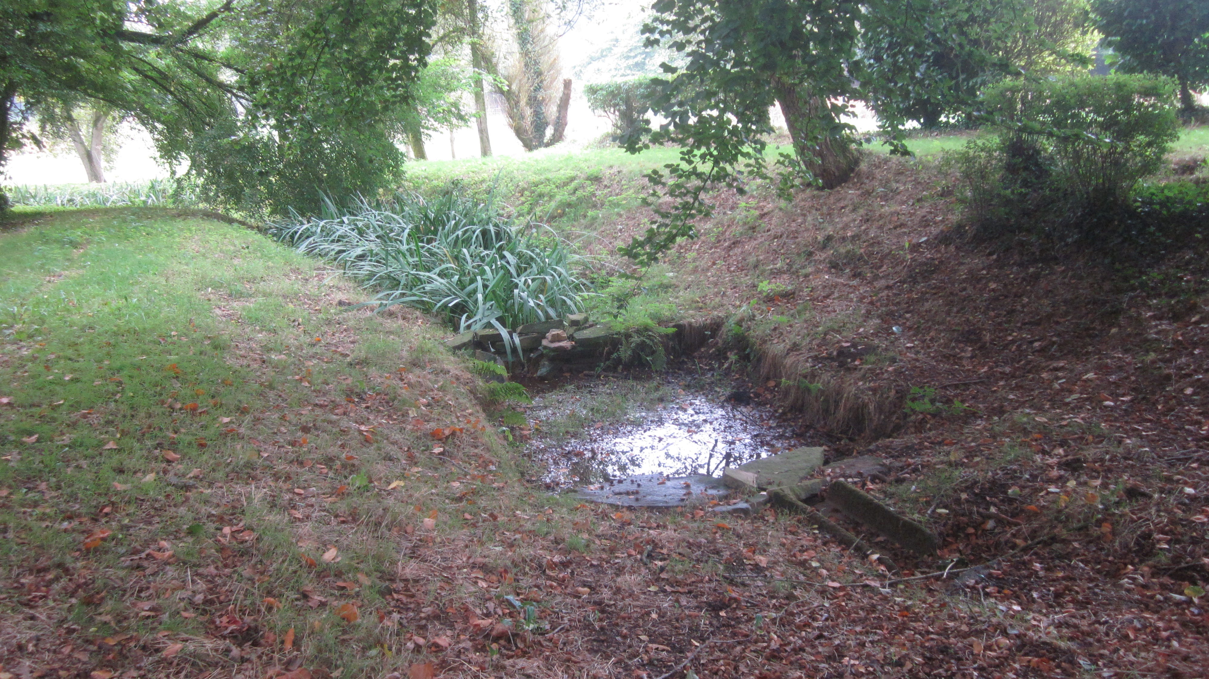
The Rance rises in the commune of Collinée in the Méné, the hilly heart of Côtes d’Armor. The low-key birthplace or source is marked by a well, small lavoir and a trickle beside the hamlet of Le Cas de la Plesse, soon evolving into a bucolic stream wiggling through fields and past the unremarkable villages to the east, with little hint of the spectacle which lies ahead. In total, the hydrographic network of river and affluents will run to nearly 700m.
Near Guenroc, the Rance takes on some fleshy width and joins the Néal in an elaborate V-shaped confluence. Since 1938 the barrage of Rophomel has delayed the river’s progress here in the interests of productivity, enabling a hydro-electric plant and creating the reservoir that provides much of Rennes with drinking water. Then an echo of exotic past, as it passes between Tréfumel and Le Quiou. Here the Rance runs a course through what, 15 million years ago, was the sea, complete with prehistoric sting-rays, megalodons and sea-cows. This period laid down the falun, a stratum of sedimentary rock from fossilised shells and sand, producing the distinctive yellow building stone commonly seen in this area today.
The last stage of the Rance’s youthful carefree life of a rural watercourse ends soon after the lake of Bétineuc, focal point for fluvial leisure activities, one of man’s most popular exploitation of rivers. It is time to grow up and get a job, helping the smooth passage of river traffic from north to south coasts of Brittany via Rennes. North-west of Evran, the Rance soaks up one of its many tributaries, the Guinefort, and takes the form of the Ille-et-Rance canal, turning north towards the channel at last.
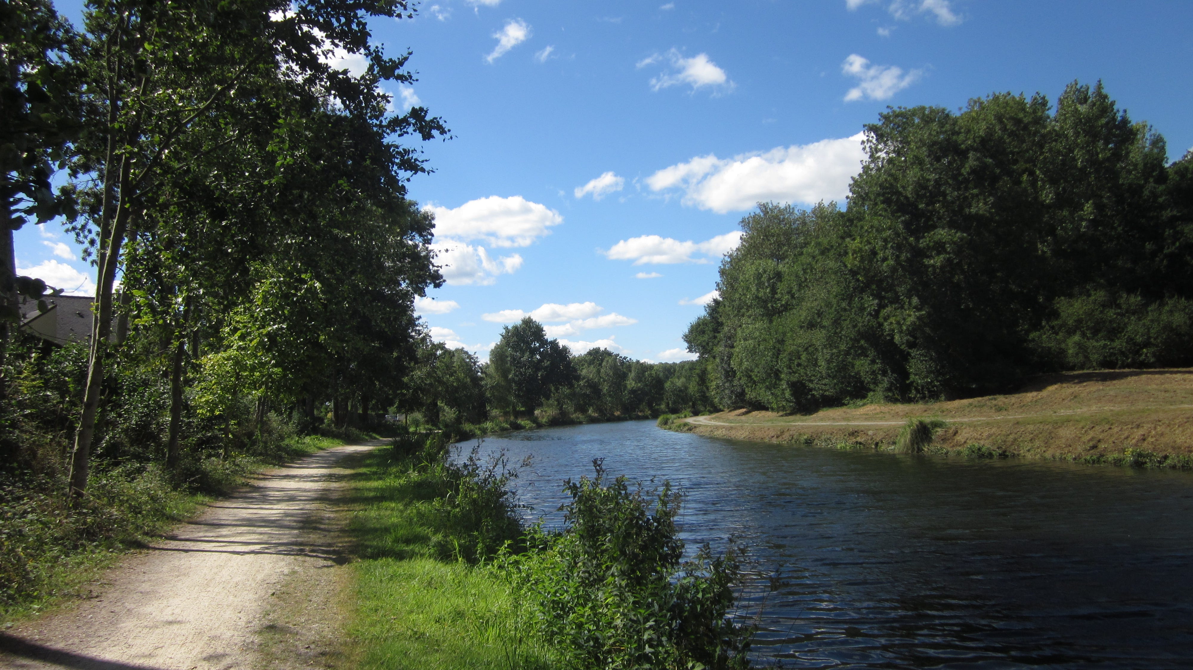
Along this manufactured stretch are some of the most memorable settings, like lovely Léhon, one of the most idyllic spots in Brittany, and celebrity big brother Dinan, where the river passes a busy port area and shoulders the burden of tourist boats. This is the busiest manifestation of the river in human terms, heavily used by walkers, runners, cyclists, kayakers and canoeists.
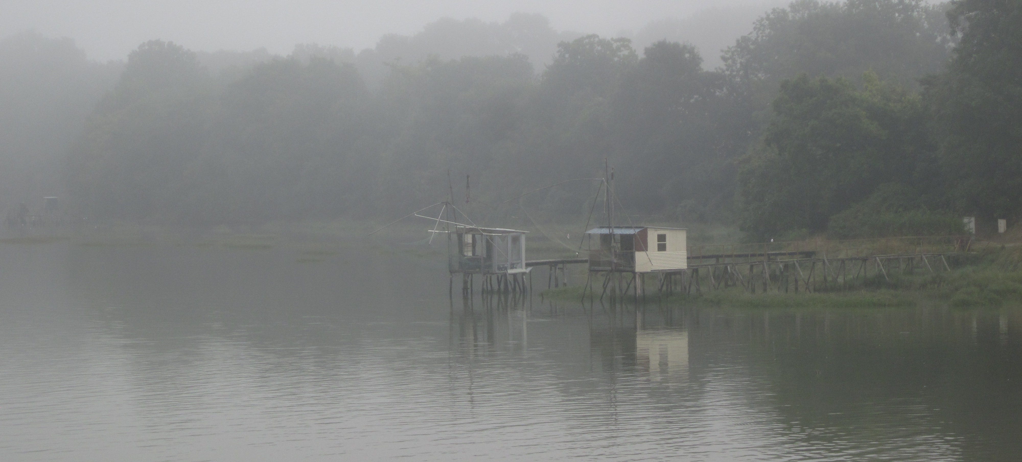
Change again at the Écluse du Chatellier, the last lock, where stilted fishing huts line the banks beyond the bridge. Reaching the tidal turning point here, the Rance gets a release from captivity and enters its estuary phase, a maritime flow of unforgettable glory. It twists and turns up to the pinch-point of Pont Saint Hubert, and then, unleashed, forges expansive passage like a vast silvery sea, shimmering outline of bays and promontories, shifting perspective of width and distance.
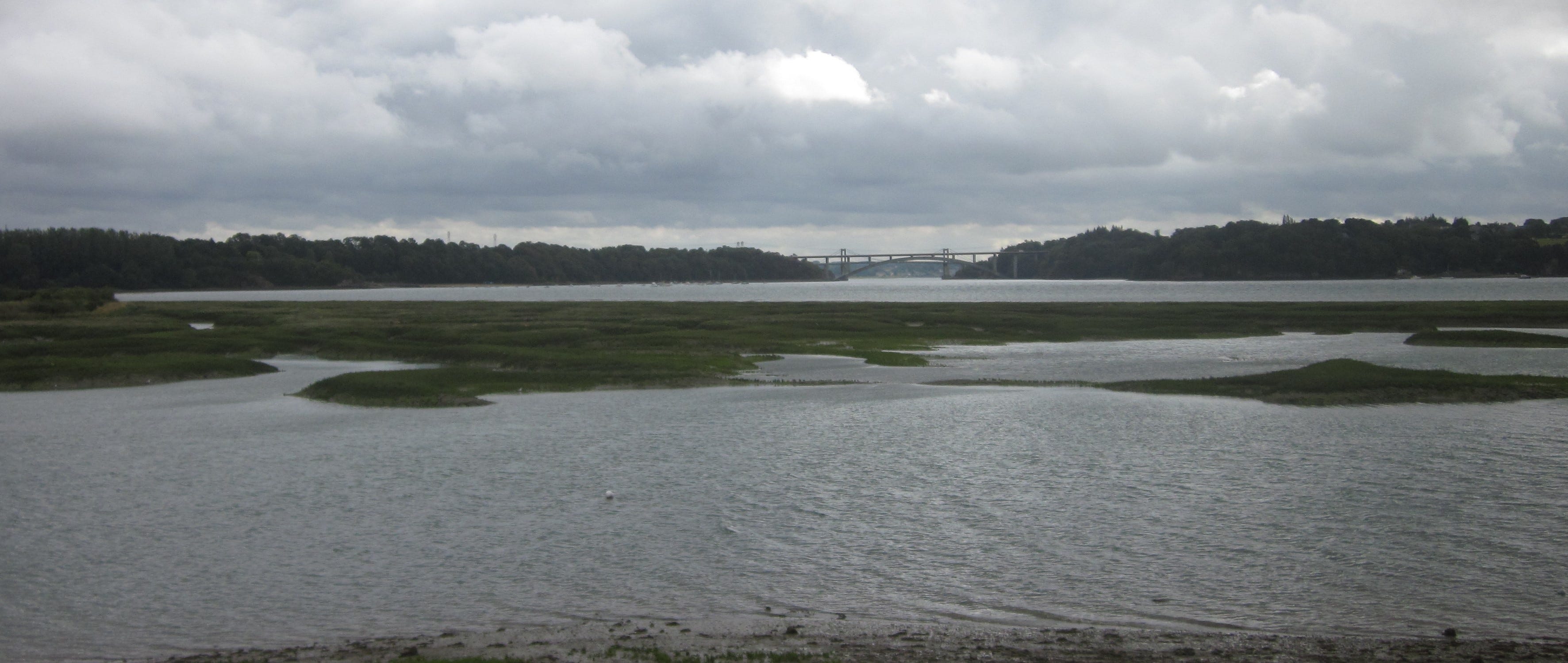
The village of Saint Suliac on the right bank, once voted most beautiful village in France, is emblematic of this amplitude. The Dark Age saint himself twisted the heads of naughty donkeys that crossed the river at low tide to eat his monastery’s vegetables, and then took extra precaution and miraculously increased the width of the water to stop their game. He also grew the first vines in Brittany, and wine is still produced here on Mont Garot, although the mellow Rance valley is more commonly associated with its famous cider today.
The river is a constant mix of openness and secret places, wide water and inaccessible nuggets of land. It has also been the scene of mysterious events. One December morning in 1790 at La Passagère, the ferryman did not turn out to perform his duties. He and his family, whose house is on the quay, were found with their throats cut. No perpetrator was ever caught, although speculation included smuggler and émigré activity. It was said, however, that the unfortunate man had witnessed men moving a body on the river the evening before.
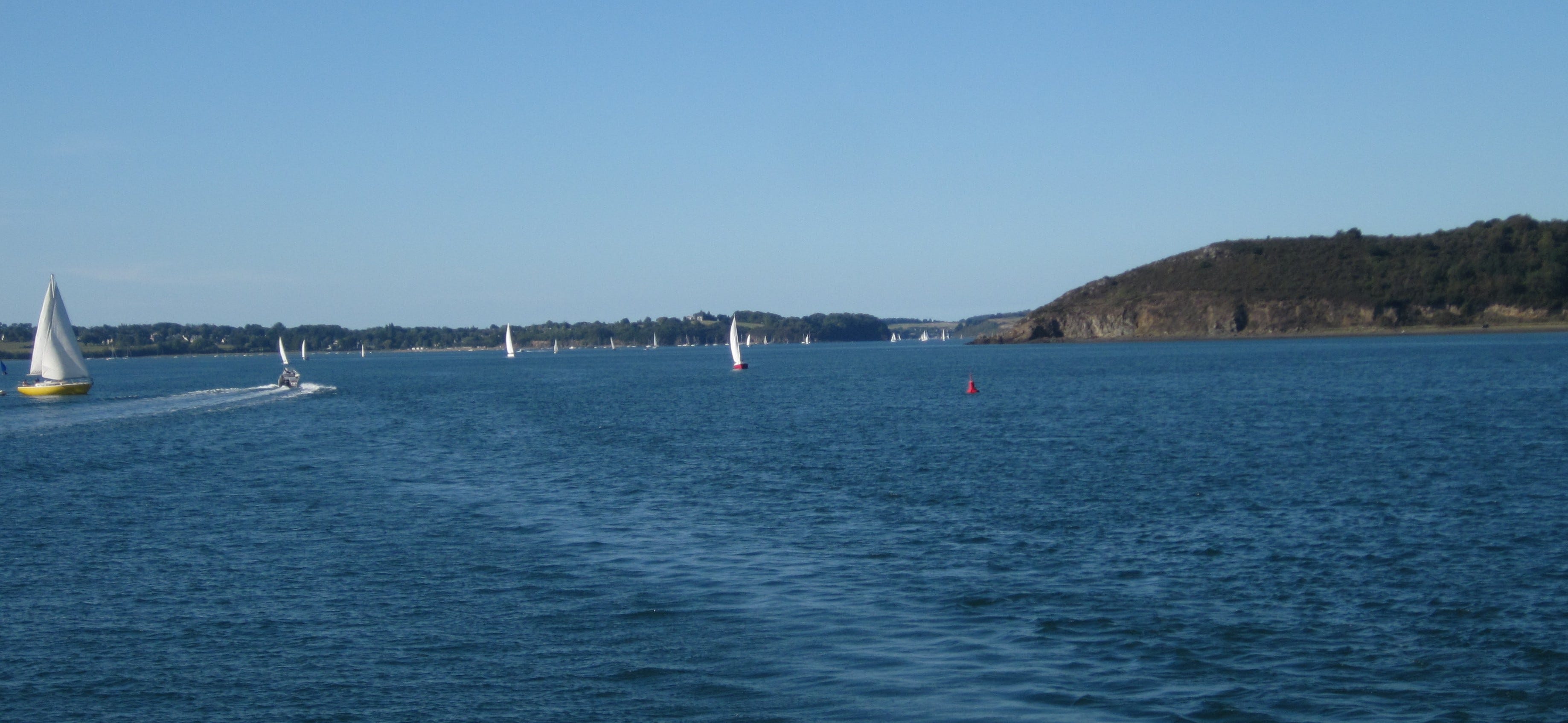
Anyone who has travelled on Brittany Ferries at Saint-Malo knows the barrage blocking the Rance on approach, 750m long and constructed in 1966. At that time it was innovative, the largest of its kind in the world. Humans capitalise on the river’s huge tidal range here (up to 14m) to run 24 turbines generating large quantities of electricity. A sea-lock allows boats through, and creates traffic jams on the D266 into the town.
But the Rance is not quite finished. This splendid river, teaming with history on a par with fish, now passes between elegant Dinard on one side and on the other the landmark 14th century Tor Solidor and fort of Aleth, a site in defensive use from the Celts right up to WWII. A final flourish before entering the Channel, becoming part of the huge body of the sea, a very long distance from that tiny spurt of water in the Méné hills.
Growing and merging, the end and the beginning. The smoothest of transitions: a river never dies nor changes its mind. Great oceans derive from rivers’ efforts, that elemental determination to get through obstacles, natural or man-made and force the truth that water will always find a way. For all man’s efforts at control and exploitation there is no human power capable of stopping the torrent of flood and the horrific surge of tsunami. Life and death bringing water, mankind’s best friend and increasingly his worst enemy. Saint-Malo itself is under threat and will be one of the first places in Brittany to vanish under the waves of climate change.
Thank you for reading. Please click LIKE, if you do.