
The Queffleuth
Is a river alive?

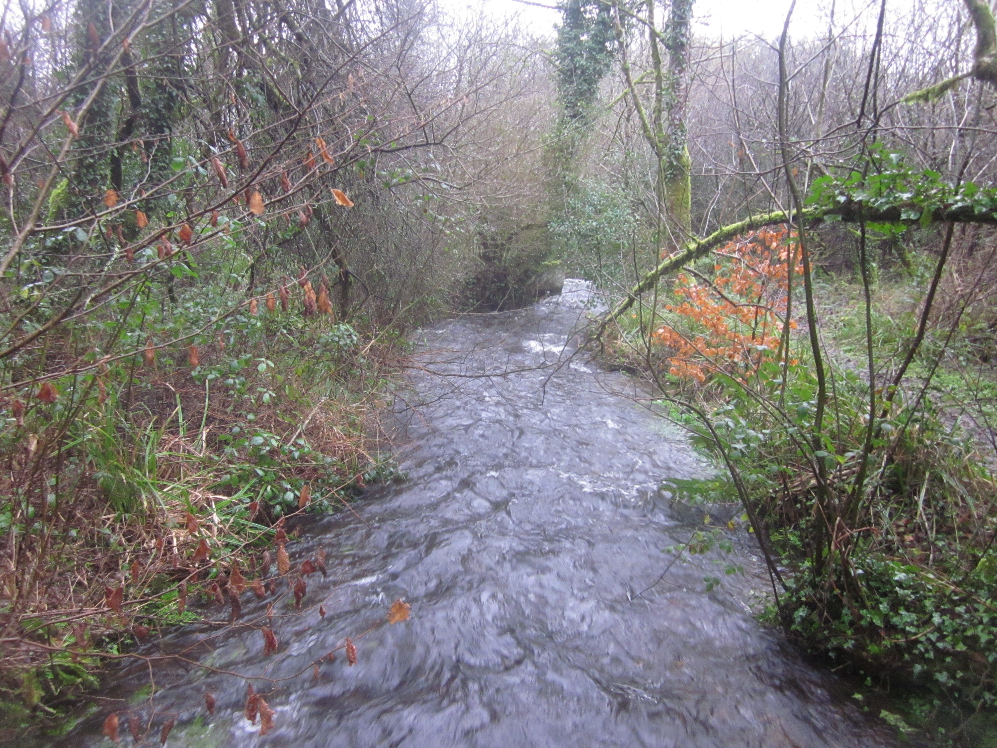
The little Queffleuth could feature in any advertisement for ‘sparkling water’ – the Breton name probably means a lively stream. This clear and busy river, despite often being only 2-4 metres wide, is capable of swelling quickly from quiet trickle to flood level when surging with rain and run-off. An old story says that a horseman was posted on the dyke at the Abbaye du Relec, ever ready to gallop off to Morlaix and warn of impending disaster when levels began to rise. The river continues to flood that town to this day.
The source of the Queffleuth lies on the north face of the Monts d’Arrée, near Roc’h ar Feunteun in Plouneour-Menez. It meanders along to Le Relec, skirting the 12th century Cistercian abbey where it was managed by the monks to form fish-ponds, irrigation channels for the vegetable gardens and two lakes. Turning north, the river presents one of the most beautiful valleys in Brittany, a route traced by the sinuous D769 main road. Here the skittish water tumbles over granite boulders in what feels like a secret celebration of all nature has to offer.
It is indeed a life source in many forms. The flow has special qualities, being well-oxygenated and a suitable environment for trout, salmon, grayling and char, and its purity also ensures the presence of otters. Lack of iron or chalk content made this a good resource for paper-making, with as many as 30 mills in operation in the 17/18th centuries, an important source of commerce and employment. Local lords of the manor saw an economic advantage in welcoming skilled artisans to their territory.
The Moulin de Glaslan near Pleyber-Christ was built in 1629 on land granted by the seigneur of Lesquiffiou to Julien Cordier and his wife Catherine Guesnon, who had both come from Normandy, in return for rent in money (21 livres) and kind (four reams of paper). A hundred and fifty years later, it was producing about 3000 reams a year. The Norman influence was important and many local families today have ancestors from this economic migration.
In 1635 Julien Cordier went on to strike a deal with local lord Yves de Coatanscour to convert a mill formerly used for grinding corn at Pont-Paul (commune of Plourin-lès-Morlaix). Two hundred years later this became a moulin à teiller, separating fibres for the cloth industry, a good example of the changing industrial demands in the locality. It went on working in one form or another right up until 1958.
In the early 19th century, François-Marie Andrieux continued the success of Glaslan, at first employing 20 workers. In 1831 he invested in a steam-powered paper-making machine from London, and increased production 20-fold. The Andrieux were socially responsible employers, providing accommodation and even a school for their employees and encouraging enterprises to work together for economic security. In 1866 Aristide Andrieux founded a société de secours to provide support for struggling paper-workers.
The territory of the Queffleuth was at the heart of the immensely important and lucrative cloth industry from the 15th-18th centuries, and the presence of numerous pilhaouers or rag-and-bone men at nearby La Feuillée meant that the mills were easily supplied with copious rags that formed the essence of the paper-making process. The two industries were natural partners.
Au fils du Queffleuth et de la Penzé is an association devoted to the study and presentation of two local rivers. Their interests are environmental and educative, with aims of sharing knowledge and understanding, promoting responsible enjoyment of the countryside and co-operation between humans and the land, all in a spirit of pleasure and social inter-action: principles much in evidence in contemporary Breton society. www.aufilduqueffleuth.bzh
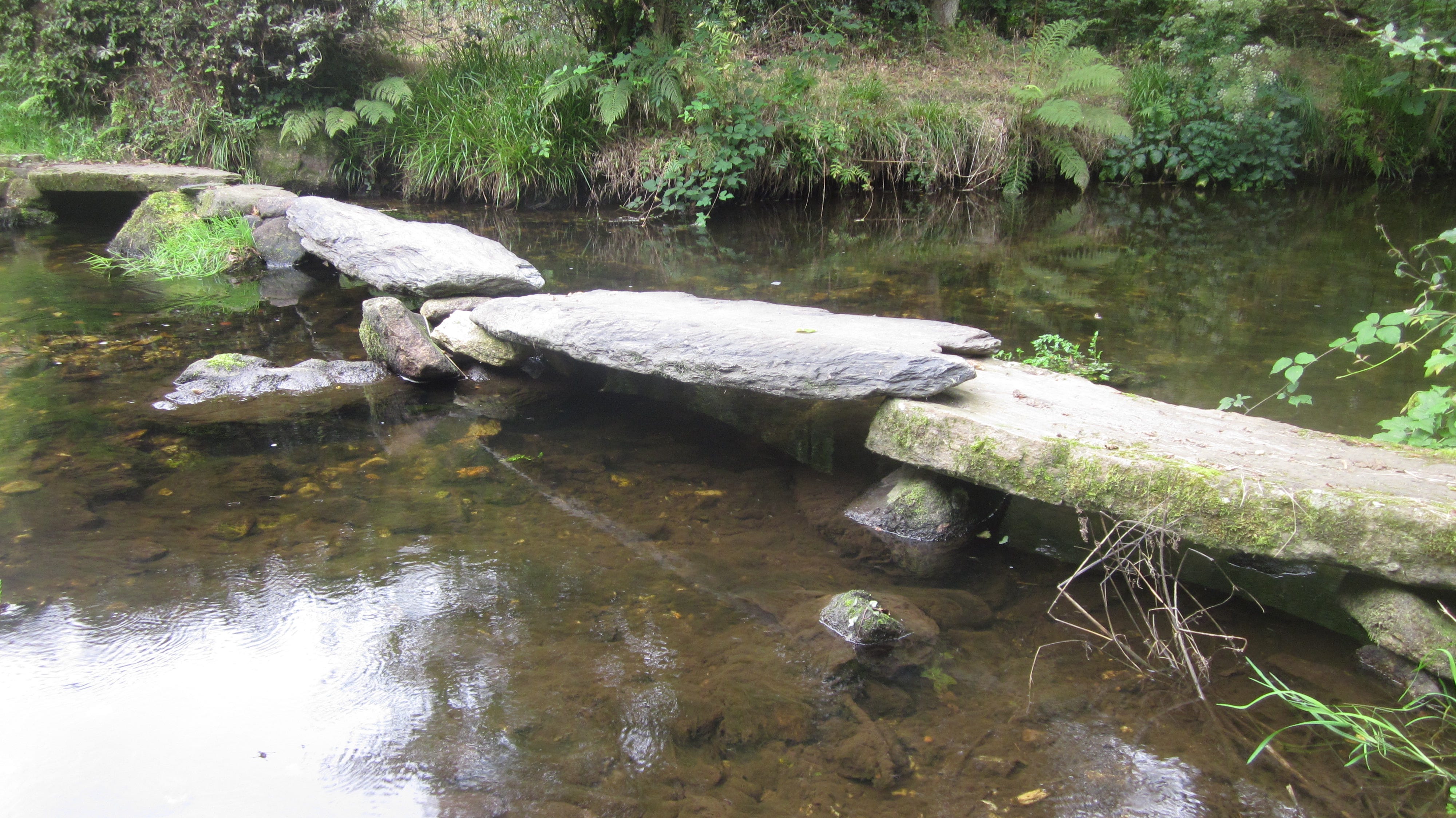
They have done careful work in researching the use of the Queffleuth and establishing paths – like the 5km Sentier Riboul Potic, starting from the picnic-area at Pleen off the D769 to explore this exceptional river valley. Throughout the year the association organises educational and entertaining events, with themed walks and visits to discover the natural and economic history of the area. I’m proud to have been a member for more than twenty years and contributed translation work for panels and pamphlets when called upon. Associations like this are an exercise in social harmony, as well as a reflection of the ubiquitous Breton devotion to local heritage and history.
Alone, the Queffleuth is only 20kms long, but on reaching Morlaix, it finds an underground confluence with the Jarlot just in front of where the Town Hall now stands. The medieval walled city was located in the V between their valleys. Once exposed, this merging of waters is now invisible and together the two form the Morlaix river, more commonly once called the Dossen, and flow out into the Bay of Morlaix and the Channel at Carantec, 13 kms away. This water-course was the historic boundary between the regions of Trégor to the east and Léon to the west.
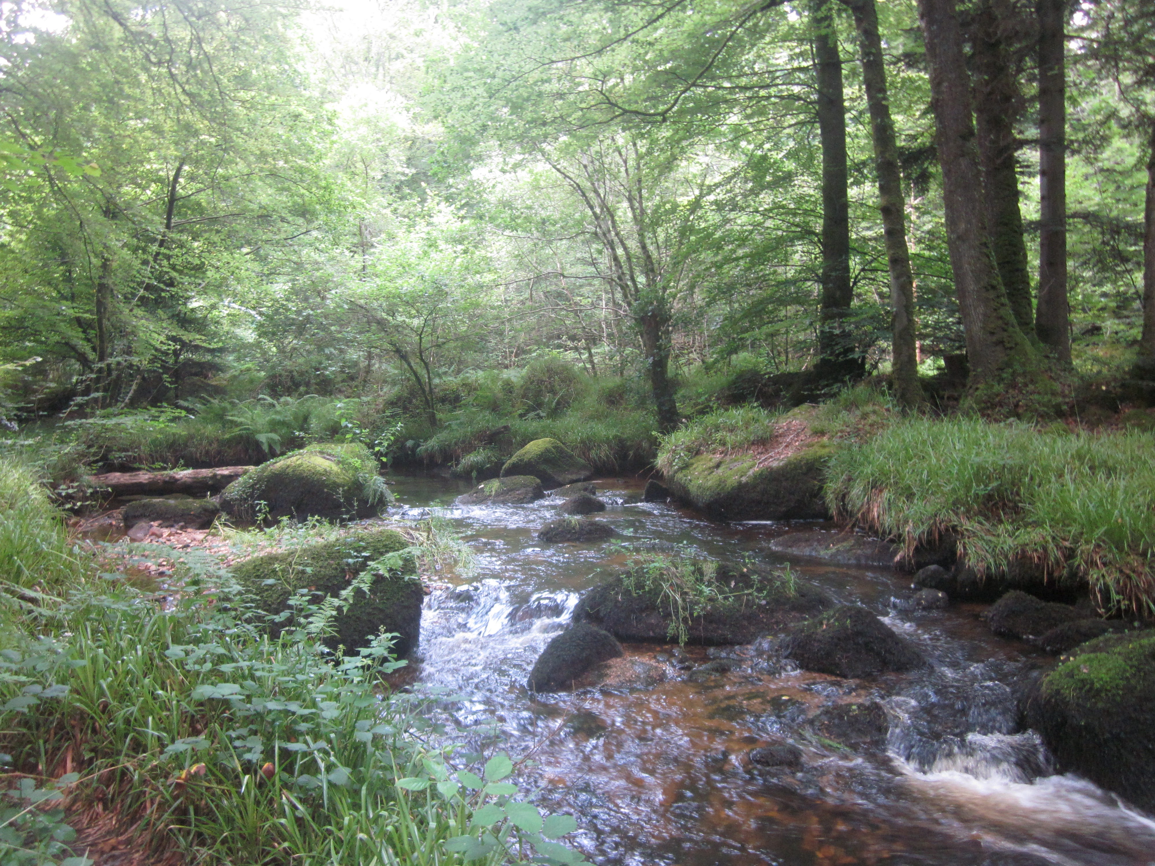
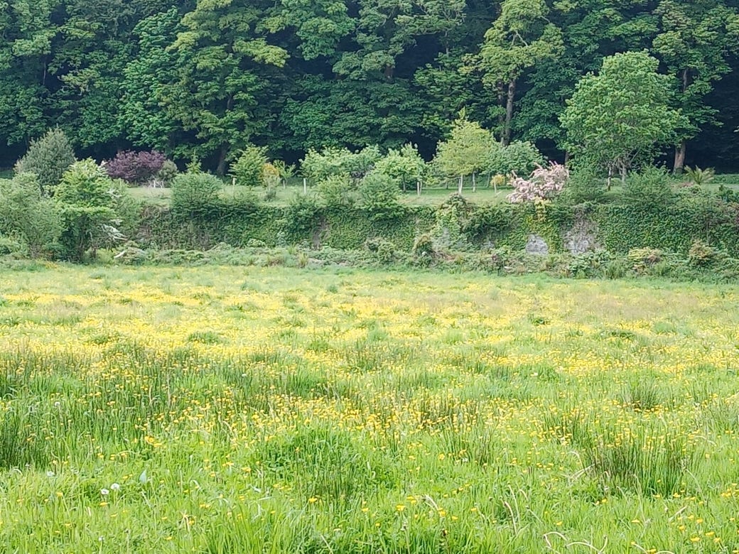
Quite apart from its economic and historical significance, the character of the Queffleuth remains a secretive one, much of the course hidden in a valley that requires effort to access, even though driving the D769 gives the odd brief glimpse of rapid stream movement. Beyond Relec, sumptuously absorbent meadows provide rich biodiversity and rocky chaos is scattered along its tree-lined course, where massed oaks, beech and willows provide retentive setting for the lively music of an inherently life-bearing river.
Lovely writing and photos, makes one want to visit!
What a wonderful name - I am intrigued as to how you pronounce it!